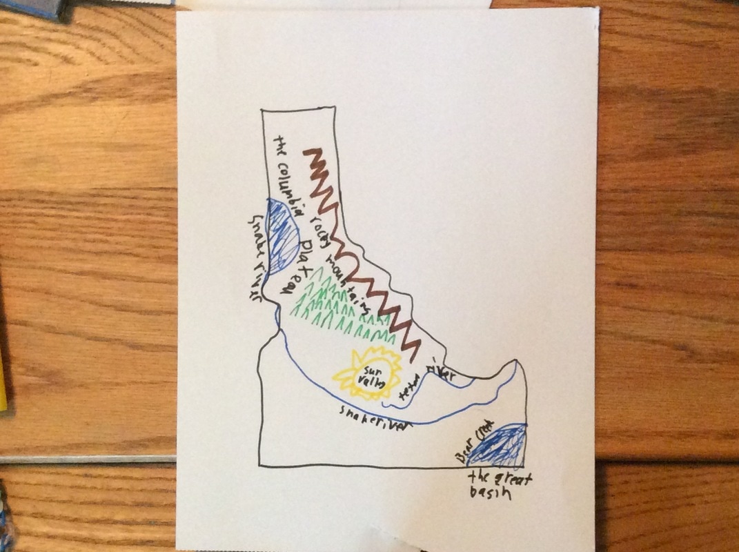
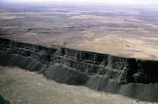
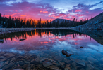
In Idaho, some of the major landforms are the Rocky Mountains, Columbia Plateau , The Great Basin, and The Snake River.
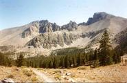
Rocky MountainsThe Rocky Mountains stretch some 3,000 miles from British Columbia and Alberta in Canada through Idaho, Montana, Wyoming, Colorado, and down to New Mexico in the U.S. The range offers dramatic wilderness, diverse wildlife and alpine lakes. Colorado’s Rocky Mountain National Park is traversed by numerous hiking trails and the famously scenic Trail Ridge Road, a 48-mile highway that reaches a high point of 12,183ft.
|
|
|
|
Climate |
Idaho has four seasons. The first it has a dry, warm summer and in the fall days it has a short mild winter. It has a lot of sunshine year round.
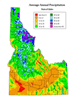
Precipitation
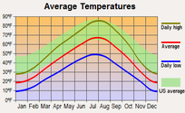
Temperature |
The average annual precipitation is 17 inches. This includes rain, hail, snow, and etc. The average yearly rain fall in Boise Idaho is 12 inches.. The average yearly snowfall for Boise Idaho is 16 inches. They average 82 days of rainfall a year.
|
|
The average temperature in Boise Idaho in January is 29 degrees for the high and 14 degrees for the low. The average high in July for Boise Idaho is 74 degrees and the low is 60 degrees.
|
